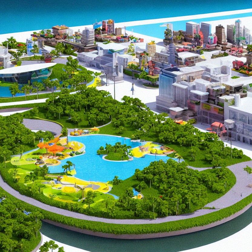
Zonify digital placemaking
Augment your places with information, media and interactivity, while increasing your community's engagement with their physical space.
Augment your places with information, media and interactivity, while increasing your community's engagement with their physical space.
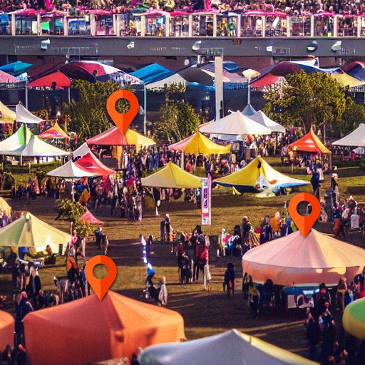
Hand Held Kiosks are an interactive way to display information and engage with the public. The Zonify Geo Location Application allows businesses, government, festivals, and tourism organizations to display information about their products, services, and events on a map. This application makes it easy for people to find and interact with these organizations and the local environment.
Zonify allows educators to create location-based learning experiences. With Zonify, educators can create virtual field trips, place-based learning activities, and more. Zonify is a great way to engage students and the general public in learning experiences that are based on their location.
There is a growing body of research that suggests location specific indigenous knowledge bases can play an important role in improving local community environmental and cultural engagement . Information including local culture, climate, terrain, and flora and fauna helps to preserve indigenous knowledge and encourage greater cultural awareness.
Zonify can create venue locations zones and gig guides at festivals and events. It is the perfect way to keep track of when and where bands or act are playing, and to find out where venues and import locations are.
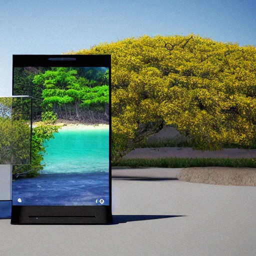
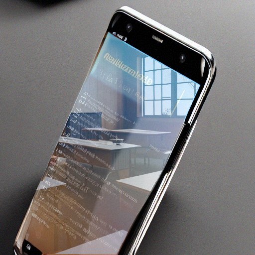
Handheld devices, such as smartphones and tablets, can also be used to create an augmented reality interactive by displaying digital information on the screen and using the device's sensors to track the user's location and movements. The potential applications of augmented reality are nearly limitless, and they are being used in a variety of fields, including education, entertainment, architecture, and medicine.
Zonify can be used to allow users to view a town's history by entering a physical location. The app could also provides information on the town's population, demographics, and attractions.
With Zonify you can enable the public to view information about Public Art on their phone based on their current location. Users could view information about each piece of art, including the artist, title, date, and a brief description. They can see all artworks on the map view and self plan a tour of the Public Art.
Using Zonify as an environmental education route or walk app provide location specific information on climate, terrain, and flora and fauna. This information can be used to learn about the local environment, find new and interesting places to explore and create community engagement with the local environment.
Geo location driven information kiosks and augmented reality informational experiences
There are plenty of features to make the app your own.

One QR code

Progressive Web App

Full Branding of Your App

Muliple Layers of interaction

Augmented Reality

Custom Mapping

Extend on the Base Application

Headless Content Management
How it works
Explore Zonify in greater depth.
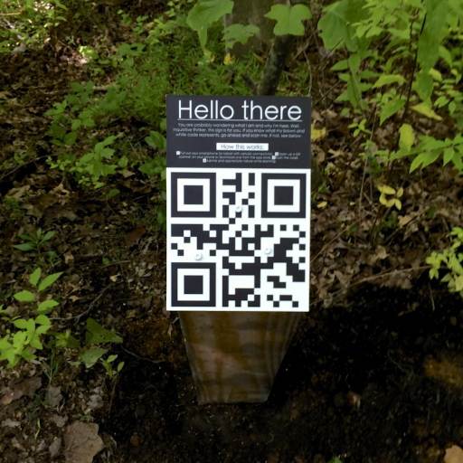
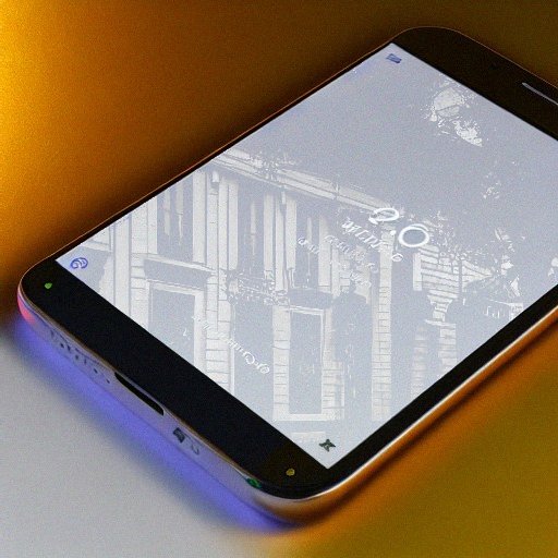
A smart device QR is used to scan a single QR that is displayed at various locations. The QR code serves as the portal into an app powered by Zonify. When the QR code is scanned, the user is immediately taken to the application. With Zonify there is no App store complexity.
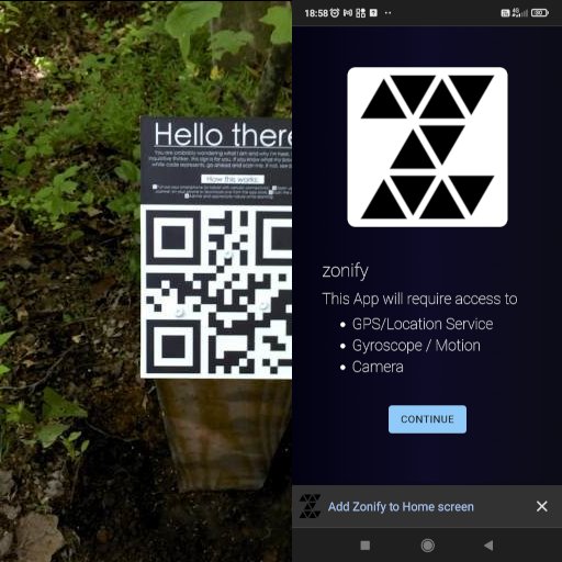
The user is given the option to install the app to the device homescreen or continue online when they first open the app. Zonify has an offline mode that enables use in places without access to the internet.
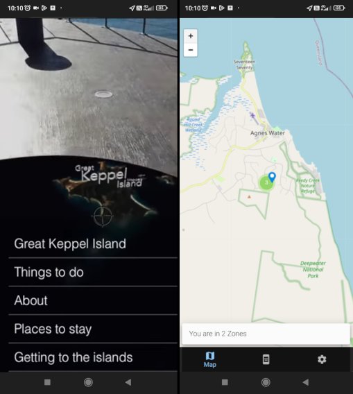
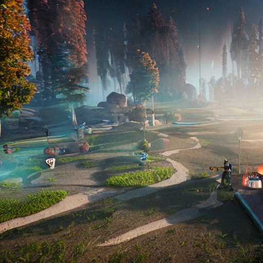
When you enter a location, you interact with the environment around you through augmented reality. This can include following a map to find your way, or consuming content that is relevant to your current surroundings. By interacting with AR, you can get a better understanding of your surroundings and what you can do in them.
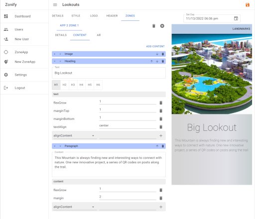
Managing your app is simple with online editor, that can work on both phone and desktop. Some feature of the Zonify App Manager include creating and grouping zones into their own themed sections, creating or importing AR experiences and using GraphQL to bring your existing content stores into your zones.
Send us a message if you have any questions or would like to request a demonstration, and we will get back to you right away. If you have any questions or would like more information about our products and services, we would be happy to provide it.